
Turn aerial imagery into a detailed 3D model of your site. SkyyTask connects you with FAA-verified drone pilots nationwide who capture the aerial data needed to build 3D site mapping and modeling deliverables — giving you a visual, interactive way to understand a property or project from every angle.
How Drone 3D Modeling Works
A certified pilot flies a structured pattern over your site, capturing overlapping aerial photos from multiple angles. That imagery is then processed into a 3D model — a digital representation of the site’s terrain, structures, and features that can be viewed, rotated, and explored digitally, rather than relying on flat photos or 2D drawings alone.
- 3D visualization of a site’s current condition, useful for planning and presentations
- Overlapping aerial capture designed specifically for accurate 3D reconstruction
- Digital models that can be viewed and explored from angles a flat photo can’t show
- A visual planning tool for construction, real estate, and architectural projects
- Nationwide network means you can get this done wherever your project is located
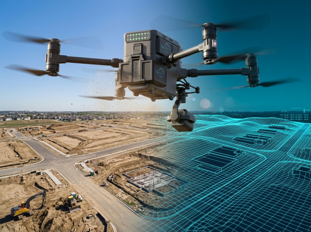
For Construction and Development
3D site mapping gives contractors, developers, and project owners a visual tool for planning and tracking a site before, during, and after construction phases. A 3D model can help visualize grading, layout, and spatial relationships on a site in a way that’s more intuitive than reading plans or comparing flat photos side by side.
Ideal for Subdivisions and New Construction
3D site mapping is especially valuable during the planning stages of a project, before ground is broken. For subdivisions, a 3D model of the raw land can help developers visualize lot layouts, grading, drainage patterns, and road placement across the entire property, giving a clearer sense of how a development will actually sit on the land than a flat survey drawing alone.
For new construction, capturing a 3D model before groundbreaking establishes a baseline of existing site conditions — useful for comparing against progress models later in the build, or for identifying potential site challenges like slope, tree cover, or drainage before construction begins. As a project progresses, additional 3D captures can track how the site is changing, giving developers and project owners a visual record from raw land to finished build.
This makes 3D site mapping a useful tool at multiple points in a project’s timeline, not just as a one-time deliverable — from early planning and feasibility, through construction, to final as-built documentation.
For Architecture and Planning
Architects and planners can use 3D models as a visual reference for how a site’s existing conditions relate to a proposed design, helping communicate ideas to clients, stakeholders, or planning boards with a model that’s easier to understand at a glance than technical drawings alone.
What to Expect
Because 3D modeling depends on the specific software and deliverable format needed for your project, it’s worth describing your intended use — construction planning, subdivision layout, client presentation, or architectural reference — when you post your job, so you’re matched with a pilot experienced in the right kind of capture and processing for your goals. No matter the stage of your project, working with a certified local pilot means you get accurate, up-to-date aerial data without the cost or delay of maintaining an in-house survey or mapping program.
From early site evaluation to final documentation, 3D site mapping gives you a clear, visual understanding of a property that flat photos and paper plans alone can’t provide. Whether you’re planning a subdivision, tracking a build, or presenting a design concept, 3D site mapping puts real data behind every decision.
Ready to get started? Post your job and connect with a certified drone pilot for 3D site mapping and modeling nationwide.