
Track your project’s progress from the air with SkyyTask’s construction site monitoring service. Connect with FAA-verified drone pilots nationwide for regular aerial documentation that keeps contractors, developers, and project owners aligned on where a build actually stands — whether it’s a residential development or a commercial project.
Why Use Drones for Construction Monitoring?
Ladders, scaffolding, and manual site walks take time and carry real safety risk, especially on multi-story builds. A drone covers the same ground in minutes, capturing angles and elevations that would otherwise require renting a lift or scheduling a manned flyover. For teams juggling multiple sites, that speed adds up fast — turning what used to be a half-day site visit into a same-day aerial report.
How Drone Construction Site Monitoring Works
Post a job and get matched with a certified local pilot who can capture aerial imagery and video of your site on the schedule you need — weekly, monthly, or at key project milestones. Every pilot is FAA Part 107 certified, so you know a qualified operator is documenting your site, not someone flying without proper training or insurance.
- Time-stamped aerial progress photos and video to track construction phases over time
- Overhead views that make it easy to spot layout issues, material staging problems, or site access bottlenecks before they cause delays
- Documentation that supports project reporting to owners, lenders, or stakeholders who need visual proof of progress
- Aerial safety walkthroughs to help identify site hazards or code compliance issues from a vantage point ground crews can’t easily get
- A faster, lower-cost alternative to manned aerial photography or repeated site visits by project managers
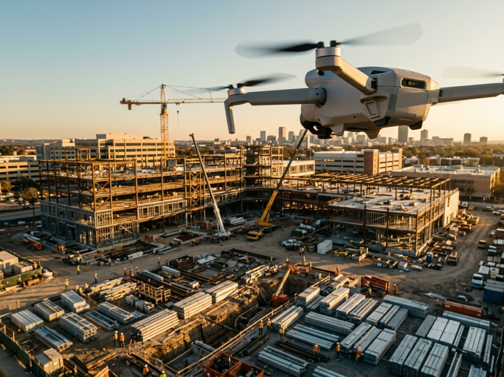
For General Contractors and Builders
Aerial construction progress tracking gives contractors a clear, consistent record of how a job site changes over time — useful for internal scheduling, subcontractor coordination, and catching problems early. Whether you’re managing a single-family residential build or a larger commercial site, instead of relying on ground-level photos or memory, you get a real overhead view of the entire property at each stage.
For multi-phase commercial projects especially, regular aerial documentation helps track grading, foundation work, framing, and exterior progress in a way that’s easy to compare side-by-side over time, giving superintendents and site managers a tool for spotting inconsistencies between planned and actual progress.
For Developers and Project Owners
If you’re managing a project from a distance or coordinating across multiple stakeholders, aerial documentation makes it easy to see real progress without being on-site constantly. This applies just as much to residential developments with dozens of units under construction as it does to a single commercial build. Regular drone flyovers can support investor updates, lender requirements, or simply give you peace of mind that a project is moving as expected.
Developers overseeing residential subdivisions can use aerial monitoring to track progress across multiple lots simultaneously, giving a clearer picture of overall development pace than individual site visits ever could. For commercial developers managing a single large-scale build, consistent overhead documentation can also help resolve disputes over work completed versus work billed, since time-stamped imagery provides an objective record.
Why Aerial Construction Progress Tracking Makes Sense:
Traditional site documentation — walking the property, hiring a photographer, or chartering aerial photography — is often slow, expensive, or inconsistent. Construction site monitoring through SkyyTask connects you with a certified local pilot quickly, giving you repeatable, professional aerial documentation without the overhead of maintaining your own drone program.
Every pilot in the SkyyTask network is verified against the FAA Airmen database before accepting a job, so contractors and developers alike know a properly licensed, insured operator is on-site — not an unverified volunteer using unfamiliar equipment. That verification, combined with nationwide coverage, means construction site monitoring is available wherever your project is located, without the delays of scheduling a specialty aerial photography firm.
Ready to get started? Post your job and connect with certified drone pilots ready to document your site nationwide.