
Why Real Estate Drone Photography Sells Listings
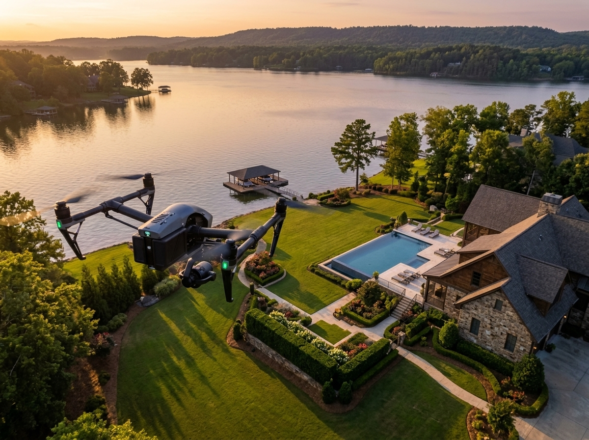
Buyers scroll fast, and a listing with only ground-level photos can get passed over before they even click in. Real estate drone photography gives buyers context a standard camera can’t — the size of a lot, the layout of a property, proximity to water, roads, or neighboring land — all in a single striking image that stops the scroll and draws a serious look.
Why Hiring a Certified Pilot Matters
Many real estate agents don’t realize that hiring someone to fly a drone for a listing — even a friend, a colleague, or a low-cost freelancer — can create real liability if that operator isn’t FAA Part 107 certified. This is a risk many agents simply aren’t aware of until it becomes a problem.
Top-Producing Agents Know First Impressions Sell Homes
Aerial Photography for Every Property Type
Different listings call for different approaches. A waterfront property benefits from wide establishing shots that show the shoreline and water access. Rural acreage sells on scale — an aerial view instantly communicates how much land is included in a way that ground photos and plat maps never quite capture. New construction and developments benefit from aerial shots showing a property’s relationship to the surrounding neighborhood, nearby amenities, and overall site layout. Whatever the property type, a certified local pilot can tailor the shoot to highlight what matters most for that specific listing.
Fast, Simple Booking
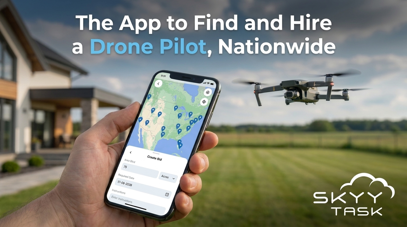
Post your job with your property address and what you’re looking to capture, and get matched with a certified local pilot ready to shoot on your timeline. Whether you need a quick same-week turnaround for an active listing or want to schedule ahead for a golden-hour shoot, SkyyTask makes it easy to find a pilot near your property. Most jobs are completed and delivered within days, so you’re rarely waiting long to get updated photos into your listing.
Nationwide Coverage for Every Market
From dense urban listings to sprawling rural acreage, SkyyTask’s nationwide network of certified pilots means you can get professional aerial photography wherever your listing is located, without searching for a local photographer or maintaining your own drone equipment. Whether you’re an individual agent handling a handful of listings a year or a brokerage managing dozens at once, SkyyTask scales to fit how you work.
Ready to get started? It’s free to download the app, free to create an account, free to post a job, and free to connect with FAA Part 107 certified drone pilots nationwide.
Frequently Asked Questions
How much does real estate drone photography cost?
Pricing varies by pilot, location, and the scope of the shoot. Post your job for free with your property details and budget, and compare offers from certified local pilots.
How fast can I get photos back for an active listing?
Most jobs are completed and delivered within days. For urgent turnarounds, note your timeline when posting the job so pilots know it’s time-sensitive.
Are SkyyTask pilots licensed?
Yes. Every pilot on SkyyTask is FAA Part 107 certified and cross-verified against the FAA Airmen database before accepting a job.
Can drone photography cover acreage and rural properties?
Yes. Aerial photography is especially useful for waterfront, acreage, and rural listings where ground photos and plat maps can’t fully show the size and layout of the property.